Georgia & South Carolina
Lake Hartwell, right now
Today’s water level from the gauge at the dam, what the drought means for your ramp, what’s on from Hartwell to Clemson, and where to go once you’re on the water.
Live from USGS and the National Weather Service
Lake Hartwell right now
647.70ft
8.30 ft below the Corps' target
USGS reading, Nov 2, 9:00 AM
- Wind
- Air
- Humidity
- Corps target
- 656 ft all year while the Clemson dike is repaired (662 ft at most in heavy rain). The old full pool was 660 ft.
- Weather
- Loading the forecast
- Weather alerts
- Checking
Level from USGS gauge 02187010, Hartwell Lake near Anderson, SC. Weather from the National Weather Service (Greenville-Spartanburg office). Some live data didn't load; the links above have the official readings.
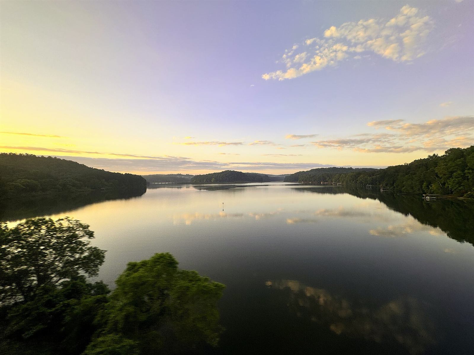
Photo: Harrison Keely, CC BY 4.0

Heading out this week?
Ramps and low-water tips- RampsSome ramps are closedGum Branch, Reed Creek, Rocky Ford and at least 11 Corps ramp sites are closed or down a lane. Tugaloo, Green Pond and Seneca Creek have the most room. The list
- BeachesSwim beaches are dryThe Corps’ swim beaches generally stop working below 657 ft. At today’s level, plan on wading from the bank or swimming off the boat.
- On the waterWatch the pointsHumps, stumps, old roadbeds and red-clay flats that were deep all summer are close to the surface. Slow down off points and in the upper Tugaloo and Seneca arms.
656 is the new full
Since August 26, 2026 the Corps of Engineers holds Lake Hartwell at 656 ft all year, 4 feet under the old 660 ft full pool, while it studies seepage under the Clemson diversion dam’s saddle dike. It can rise to 662 ft in heavy rain, but no higher, and the Corps expects the limit to last years. Today’s low water is from drought, not the restriction. What the restriction means
Start here
Why Lake Hartwell is stuck at 656, and for how long
Even when the rain comes back, the lake won’t go back to 660. A dike near Clemson is seeping, the repair hasn’t been funded, and similar Corps fixes have taken 7 to 17 years. Here’s the whole story in plain English.
Live
Lake map
Every public ramp, colored open or closed by the Corps, plus marinas, parks and campgrounds.
Open the mapThis week
Fishing report
What’s biting by species and by arm of the lake, plus limits and the striper story.
What’s bitingPhotos
Gallery
The dam with its gates open, and the lake the last time it was this low.
See the photosFor kids
Comics
True stories from under the lake, with Gauge, Blue and Hy.
Read the comics
From the USGS record since 2005
When will it come back up?
Of the 4 years that were about this low on Nov 2, 1 was back to the 656 ft target within six months. The quickest, 2012, was full by March 31. See every low year since 2005 and where this one could go.
- 637.6Record low, Dec 9, 2008
- May ’09Back above 656 after the record
- ~1 mo2023’s December low back to 656
- 665.4Record high, April 1964
Coming up around the lake
The whole year-
8Nov
-
8Nov
-
11–14Nov
-
13–15Nov
-
14Nov
-
20Nov
The big ramps
Every ramp, with directions- Tugaloo State Park GA
- Green Pond Landing SC
- Seneca Creek County Park SC
- Lake Hartwell State Park SC
- Sadlers Creek State Park SC
- Paynes Creek GA
- Hartwell Lakeside Park GA
- Twin Lakes SC
Fishing license: a valid Georgia or South Carolina license covers the whole reservoir.
Pick your side of the lake
The full guide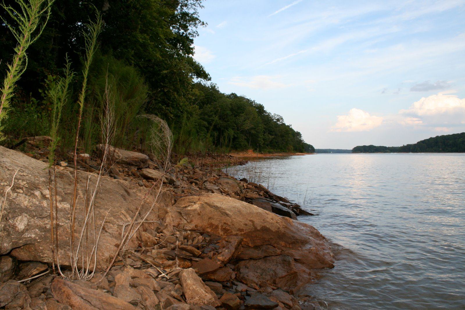
Georgia side
Hartwell, Lavonia & Toccoa
The town the lake is named for, Tugaloo State Park, Backstreet Bar-B-Que and the Cherokee Center of the World marker.
The GA shore
South Carolina side
Anderson, Clemson & Seneca
The Electric City, gameday coves, Ram Cat Alley’s Thursday jazz and Lake Hartwell State Park at Fair Play.
The SC shore
On the water
Boat-up food & fuel
Where to tie up for lunch, where to buy gas, and what to call ahead about while the water is low.
Food and fuel by boat
With the dog
Dog-friendly Hartwell
Leash rules on both sides, trails dogs can walk, and where they can and can’t swim.
The dog guide
Lake stories
There’s a town under the water
Lake Hartwell covers the old river port of Andersonville, the Cherokee town of Tugaloo, and a plantation whose hilltop graveyard became Cemetery Island. When the water drops, old roadbeds come back up to meet you.
And the name? Hart County is the only one of Georgia’s 159 counties named for a woman: Nancy Hart, the Revolutionary War patriot. The town, the dam and the lake all carry it.

- 56,000acres of water
- 962miles of shoreline
- 185 ftdeepest point
- 5thBassmaster Classic, March 19–21, 2027

From the archive
The lake, as the Corps drew it in 1987
Parks, campgrounds and ramps as they were laid out a quarter century after the dam closed. A lot of the names haven’t changed: Tugaloo, Sadlers Creek, Twin Lakes, Coneross, Paynes Creek.
Asked at the ramp
Why is Lake Hartwell so low?
Drought. The area has been short on rain since early 2025, and the lake fell about half a foot a week this fall. The 656 ft restriction isn’t the cause; it only matters once the lake climbs back above 656. See today’s level and past low years.
Will the lake be at 660 again?
Not soon. The Corps is holding the lake at 656 ft all year (662 at most in heavy rain) until a dam-safety study and repair of the Clemson saddle dike are done, which the Corps says will take years.
Georgia or South Carolina fishing license?
Either one. A valid license from either state covers the reservoir under their reciprocity agreement. Tributaries follow their own state’s rules. Check both DNRs before you go; terms can change.
Can I still launch at my ramp?
Many ramps still work at today’s level, and some shallow ones don’t. We’re getting each ramp’s bottom elevation from the Corps to show lane-by-lane status. Until then, the ramp page lists the big public ramps with who runs them, and how to launch in low water.
Who runs the lake?
The U.S. Army Corps of Engineers, Savannah District, through the Hartwell Project Office (888-893-0678). Many parks around it are run by Georgia or South Carolina state parks, or leased to counties and cities.